 2014/1/25 New Year Party Seating (政大新春晚會座位表)
Dear Alumni : Happy New Year!
Here is the link to show your assigned NYP Seats – 2014_NYP_Web_TableList
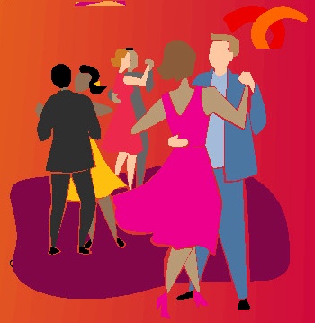
Activities (Clubs)

2014/1/25 New Year Party Seating (政大新春晚會座位表)
Dear Alumni : Happy New Year!
Here is the link to show your assigned NYP Seats – 2014_NYP_Web_TableList

親愛的朋友們:
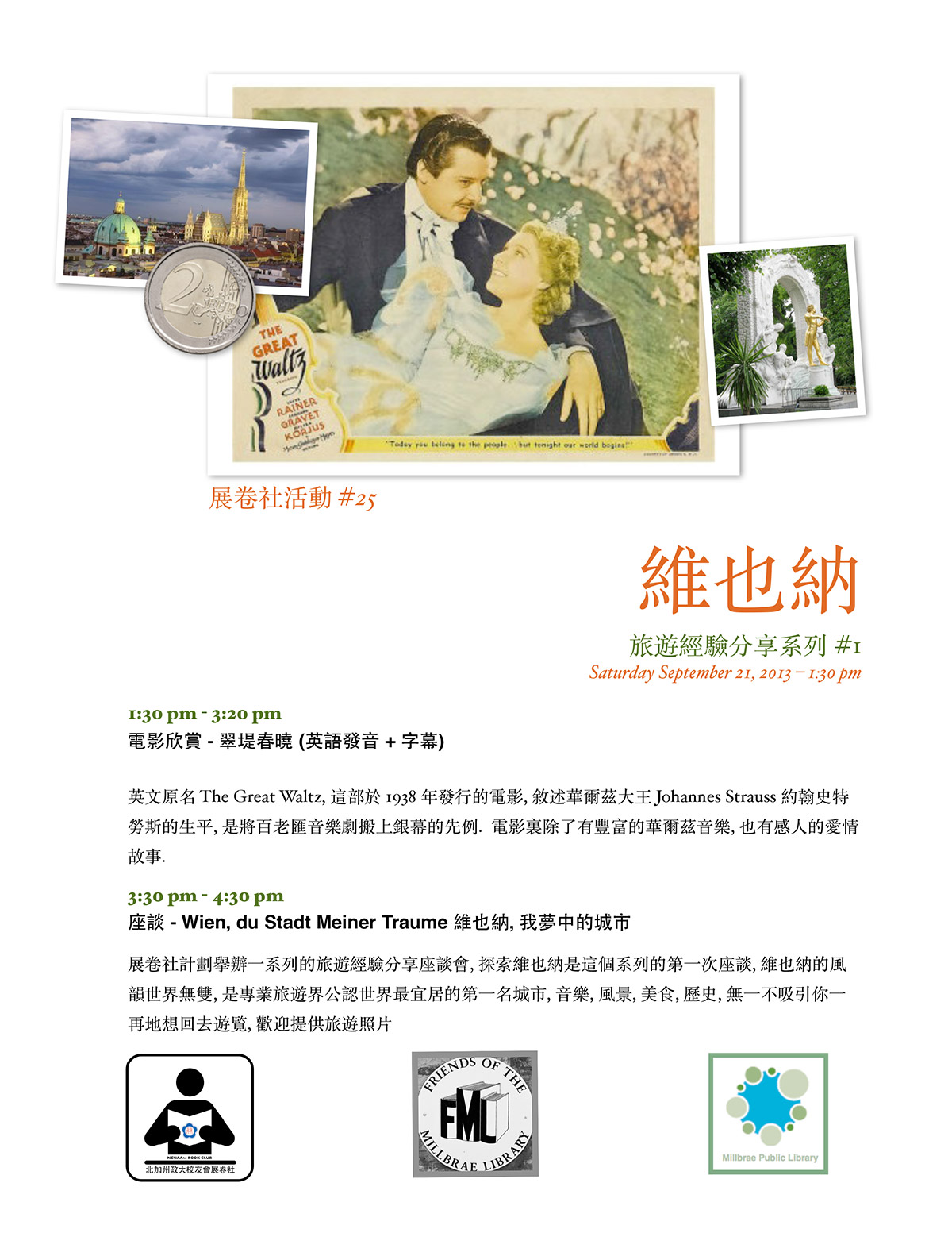
相信我們這一群逐漸地有時間, 有機會到世界各地去旅遊, 您一定有很多旅遊經驗可以分享.展卷社特闢旅遊經驗分享系列, 逐次介紹及討論某一旅遊景點, 第二十七次活動是本系列的第一次, 以維也納為討論景點, 謝宗欣校友 (Paul Hsieh) 志願擔任主持人.1:30 PM 開始, 先欣賞老電影 – 翠堤春曉, 3:30 PM 開始座談會, 分享旅遊維也納的經驗, 歡迎您提供旅遊照片, 請與謝宗欣 校友連繋 – paulchsieh@gmail.com.
地點仍在 Millbrae Public Library
1 Library Ave., Millbrae CA 94030
時間是 09/21/2013 Saturday 1:30 PM – 4:30 PM
請參考本次活動的中英文海報如附件.
敬邀!
北加州政大校友會展卷社
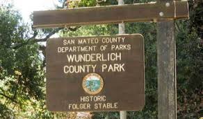
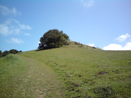
 Hiking Date : 08/17/2013 Time: 1:30pm to 4:30pm, Meeting Place: the picnic table area in the Wunderlich Park. Address: 4040 Woodside Road, Woodside, 94062.
The Wunderlich Park is a hillside area of redwood forest, open meadows, and beautiful oaks and madrones. The park is largely open space, with a system of beautiful trails. Both riding and hiking are available. Much of the park is well‐
shaded, so it’s a good hiking choice in summer days.
There are quite a few loop possibilities. We hiked the ambitious one to the Skyline Boulevard edge of the preserve about 9.9 miles round trip. We also hiked a shorter one with 4.4 miles. This time, we will try a new route for easier handling.
Starting from the Parking, we will take the Alambique Trail to the junction of Bear Gulch Trail. After 0.3 miles on the Bear Gulch, we turn right to the Meadow Trail, then left to Madrone Trail, and hit the last portion of Bear Gulch Trail back to the parking. This route is about 4.8 miles. We should finish it within 3 hours.
(Please note that all participants should take full responsibility to themselves in this event. Please aware that NCUAANC is not responsible to any indemnity on any occurring in this hiking event. If you do not agree on this term, please do not participate in this event.)
What to bring:
Directions:
Take Hwy 101 or I‐280 turn to Woodside Rd. Staying on the Woodside Road, head west to Woodside City. After driving through the Woodside city, head north on Hwy 84, the Wunderlich County Park will be on your right hand side.
Please aware the 25 mile speed limit in Woodside City. Police always hunts for over‐speed vehicles there.
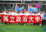
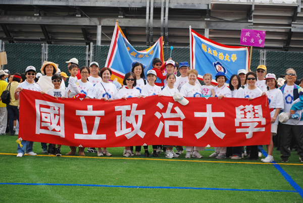
各位親愛的校友們:
感謝昨天到華運會參加分列式的校友們。大家攜家帶眷的共渡一個愉快的上午。也感謝趙蓮君帶來的涼麵和玉米。感謝拌麵的張莉綺,林惠鈴。我們是一個合作無間的校友會。感謝梁惠冰, Larry, 周滌平, 及張莉綺等校友提供照片,請至下列網址觀賞:http://www.ncuaanc.org/photos/?album=20130804
以下是昨日運動會成績報告。
親愛精誠, 騰龍躍虎, 政大健兒再創佳績 !
男子組比賽結果- 一金、一銀、一銅。我們只參加三項,每項都得獎牌。
女子組比賽結果 –共 11 獎牌: 6 金, 2 銀, 3 銅
謝謝參賽的選手們,如果大會有團體獎,我們一定是冠軍。 再次感謝各位的參與。明年再創佳績!
會長:王莉莉 副會長:戴元瑋 , 陳萍. 理事會成員: 簡美雪、 廖富美、 張莉綺、吳敏君、李仁龍 、吳維琳、顧筱巧、夏靜碧、衡孝英、陳亳蓉 、耿德馨 、江宜芳、杜希婷、林景蕙、林惠鈴、程長龍、任維真、李昀臨.
 Date: 2013-09-08 Sunday, 11 AM, Event: BBQ in the Park, Place: Kennedy Grove Regional Park (6531 San Pablo Dam Road, El Sobrante, CA)
親愛的師長及校友:
大家期盼已久的中秋烤肉活動將訂於星期日, 9月8日上午11時在東灣 Kennedy Grove Regional Park (6531 San Pablo Dam Road, El Sobrante, CA) 舉行.
我們將準備豐盛的烤肉及可口餐點, 並安排豐富的娛樂節目, 包括民歌欣賞, 陳萍帶領大家做拉丁有氧健身運動, 舒活筋骨, 以及有趣的遊戲. 李仁龍帶領的 Hiking Club 9月份活動也合併在當天下午舉行. 大家可漫步在風景優美的寬闊草原, 擁抱大自然. 中秋烤肉活動是一項十分受歡迎的活動, 歡迎校友們闔家光臨. 請現在就報名, 期待與大家共度一個愉快的中秋佳節.
我們也將舉辦 yard sale. 校友們可以清理家中不用的東西, 二手或全新的用品. 需要的人可以低價買到, 可資源回收. 全部收入將捐給校友會. 歡迎校友們帶著您的家人, 朋友踴躍參加. 期待大家的參與, 聯絡感情, 為這次活動留下美麗的回憶.
費用: 大人 $10, 小孩 (6-12) $5, 長者 (70+) $5
支票抬頭請支付“NCUAA-NC”, 請寄到 Amy Chang (1085 Caggiano Ct. San Jose, CA 95120)
報名截止: 9/4/2013
聯絡人:
江宜芳 (Emily Chiang): emily.chiang@cbnorcal.com 650-796-2285
簡美雪 (Amy Chang): snoweeamy@yahoo.com 408-464-6633
Carpool 請聯絡: 衡孝英 (Caroline Heng): caroline_heng@yahoo.com 408-366-0678
Yard Sale 及志工請向廖富美 (Michelle Wu) 登記 wu.michelle@principal.com, 408-821-8279. 請校友儘速報名參加. 感謝您的支持與合作!
活動組組長: 耿德馨及簡美雪, 廖富美, 張莉綺, 衡孝英, 江宜芳, 吳敏君, 杜希婷, 程長龍 敬邀
DIRECTION:
From SF Peninsula
1. Cross Bay Bridge , stay on the left lanes and go Hwy. 80 ( Sacramento ).
2. Pass Berkeley , Albany , El Cerrito and exit San Pablo Dam Road.
3. Make a right onto San Pablo Dam Road. Go all the way.
4. You’ll pass about 12 intersections / traffic lights until all the residential areas are behind you. Then you’ll begin to climb an uphill slope.
5. Very soon, Kennedy Grove appears at your left. Make a left turn you’ll face a winding downhill road to the parking kiosk.
$5.00 per car.
If you take San Mateo Bridge , do exactly the same as above – you’ll have to turn to Hwy. 880 ( Oakland ) first and then merge to Hwy. 80 when you pass Oakland. Make sure that you stay on the RIGHT lanes so that you’ll make it to Hwy. 80. Otherwise, you’ll go to Bay Bridge and San Francisco .
From South Bay
1. Take Hwy. 680 North ( Sacramento ) – highly recommended!
2. Go all the way on 680 and stay on the right lanes after you pass Alamo. You then will merge to Hwy. 24 West ( Oakland ).
3. Stay on 24 and exit Orinda.
4. Make a right onto Camino Pablo. You’ll pass the residential area of Orinda. Stay on the same road and the road name changes to San Pablo Dam Road.
5. You’ll enter a scenic drive. San Pablo reservoir is at your right. Hill slopes at your left. Once you pass the entrance of San Pablo Reservoir, begin to REDUCE speed, go about another quarter of a mile, the entrance of Kennedy Grove lurks at your right. You have to make a SHARP right turn onto a winding downhill road to the parking kiosk.
If you decide to take Hwy. 880 ( Oakland ) please follow the same directions as that of the SF Peninsula goers.
From Oakland and Berkeley
1. Take Hwy. 24 East ( Walnut Creek ). Cross Caldecott Tunnel.
2. Exit Orinda. Make a left onto Camino Pablo.
3. Follow the same directions as that of South Bay goers who take Hwy. 680 North.
From Marin
1. Take Richmond / San Rafael Bridge.
2. Stay on Hwy. 580 West and exit Harbor Way. Left onto Harbor Way and then immediately right onto Cutting. Go all the way until you reach the entrance of Hwy. 80 East. Go onto Hwy. 80 East.
3. Follow the same directions as that of SF – Peninsula goers.


NCUAA- 2013 July Hiking Event
Place: Windy Hill Open Space Preserve
Time: July 20, 2013 (Saturday), 13:30- 17:30
Mee at : The upper portion of this Preserve at Skyline Blvd., it is called the Spring Ridge Parking Area, 18362-18492 California 35, Portola Valley, CA .
Driving instructions:
** Please note that we will park at, and start from the upper portion of this Preserve at Skyline Blvd., the Spring Ridge Parking area. Do not get direction from google map by the address of this Preserve. It will direct you to the lower portion parking.
From hwy 280, take hwy 92 west, then turn south onto hwy 35 (Skyline Blvd), drive for 14.3 miles, the parking lots at your left. We will park at the one with portable toilet. (the 2nd parking lot on the map)
If you need address of this parking lot, the Spring Ridge Parking Area, 18362-18492 California 35, Portola Valley, CA .
*********************************************
You can download a map from the link below.
http://www.openspace.org/preserves/maps/pr_windy_hill.pdf
******************************************
Description:
It is one of the our three choices for the hot summer. The trails are mostly shaded under pines, bay trees and live oaks.
We start from the upper portion of this Preserve. We will take our modified route as last time for going downhill with the shorter 2.6 miles Hammer Gulch Trail, then upward back to parking lot with the 2.3 miles Razorback Ridge and 1.5 miles Lost Trail. From our past experience, people can handle this route very easy by this modification. The whole route is about 7.8 miles.
(Please note that all participants should take full responsibility to themselves in this event. Please aware that NCUAANC is not responsible to any indemnity on any occurring in this hiking event. If you do not agree on this term, please do not participate in this event.)
**************************************************************
What to Bring:
Drinking water, snacks, sun glasses, sun screen, hiking boots, hiking poles.
*** It may be quite windy at the time we finish the hiking, so a light jacket is recommended.
You can call Paul Lee at: (510)-676-1343
for questions of this event.
********************************************************

六月健行在6/22 舉行。今次健行將是登山活動。
Tolman Peak (997 ft. elevation) is located at the southeast side of Garin / Dry Creek Pioneer Park, which is part of East Bay Regional Park System.
We will meet at the public parking lot at May Road, Union City at 1:15pm. The parking is free. We start here at1:30pm to the peak and back. Our route is 4.75 miles round-trip, and we should be finished within 3 hours. The Difficulty rating of this trail is “Easy” for usual hikers.
It starts with easy uphill hike, several creek crossings until a moderate uphill climb to Tolman Peak. After the peak, we will take the South Folk Trail, a well-shaded trail in the oak woods, to complete the loop around the hill and then takes the same way back to the trailhead. This is a great hike for people looking for solitude and great scenic views on the east bay. The best season to hike is early summer.
You can get more details of this trail from the link below.
http://www.everytrail.com/
(Please note that the introduction from the link above starts from Tamarack Ave, and we start from May Road. Don’t use the information from the link and wrongly go to Tamarack entrance.)
You also can get a park map from this link.
http://www.ebparks.org/Assets/
(Our route is at the lower right corner of the map.)
Directions to the May Road Parking:
The May Road is very short. You can even see the parking lot before you turn in May Road from Mission Blvd. You won’t miss it.
From Peninsula or South Bay,
People Using I880:
People Using I680:
The sign of May Road is small, and easy to be missed. There is a Shell gas station just opposite to the May Road. Look for this station.
Please be reminded that do not park in parking spaces of the neighborhood apartments. Towing cars always hunt at this area. If the parking is full, you can park at the road side at Mission Blvd.
Please see the PDF file for more information. Hiking-2013-06-Tolman.pdf