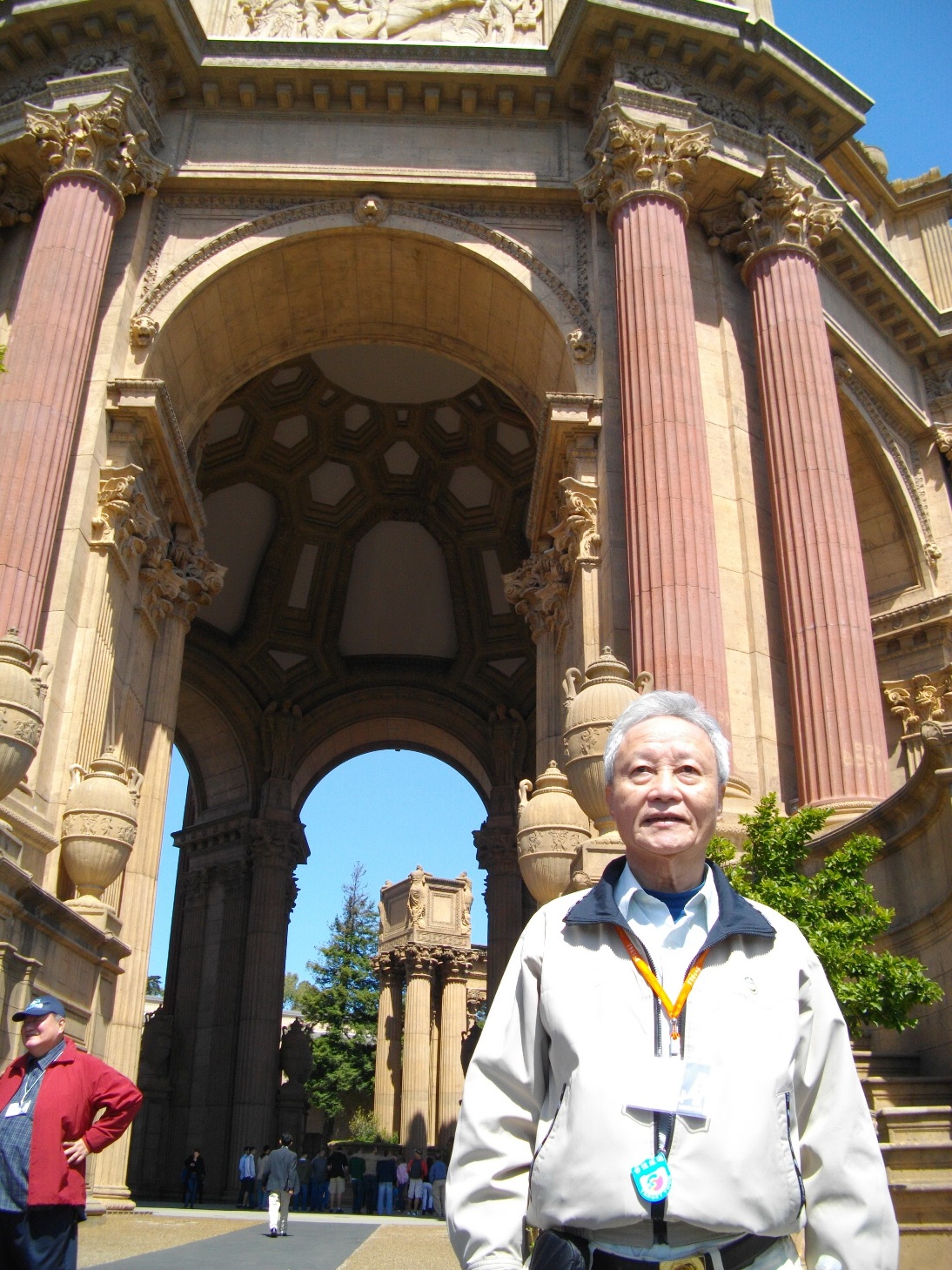
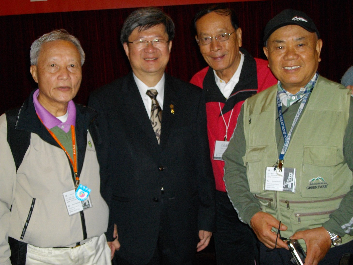
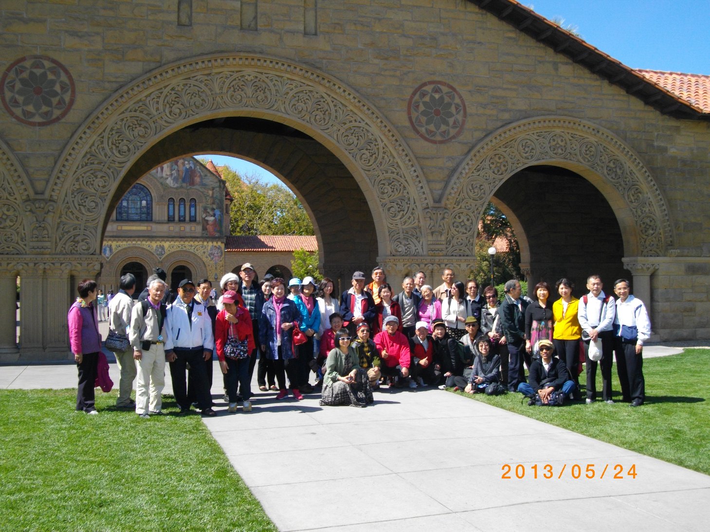
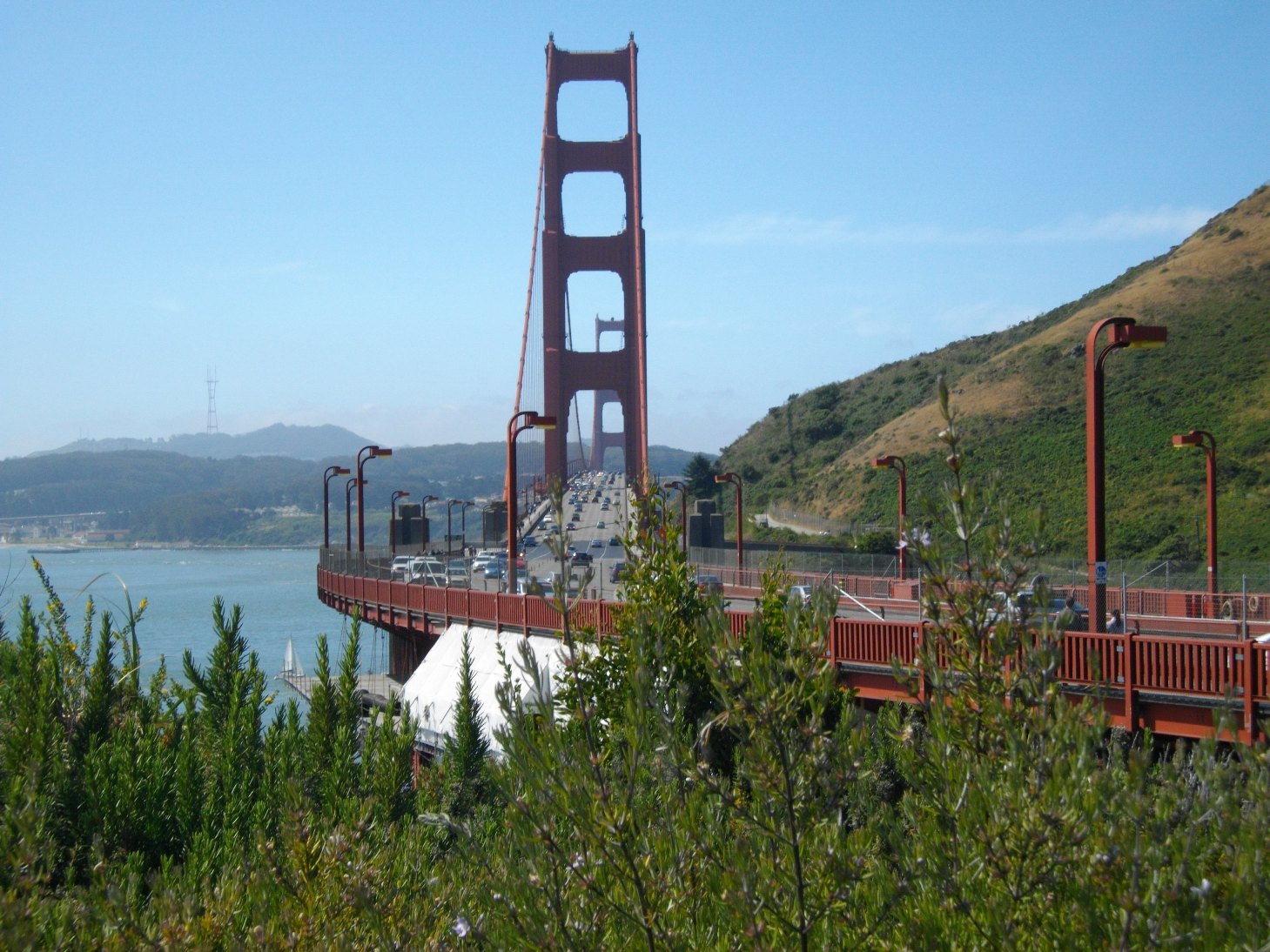
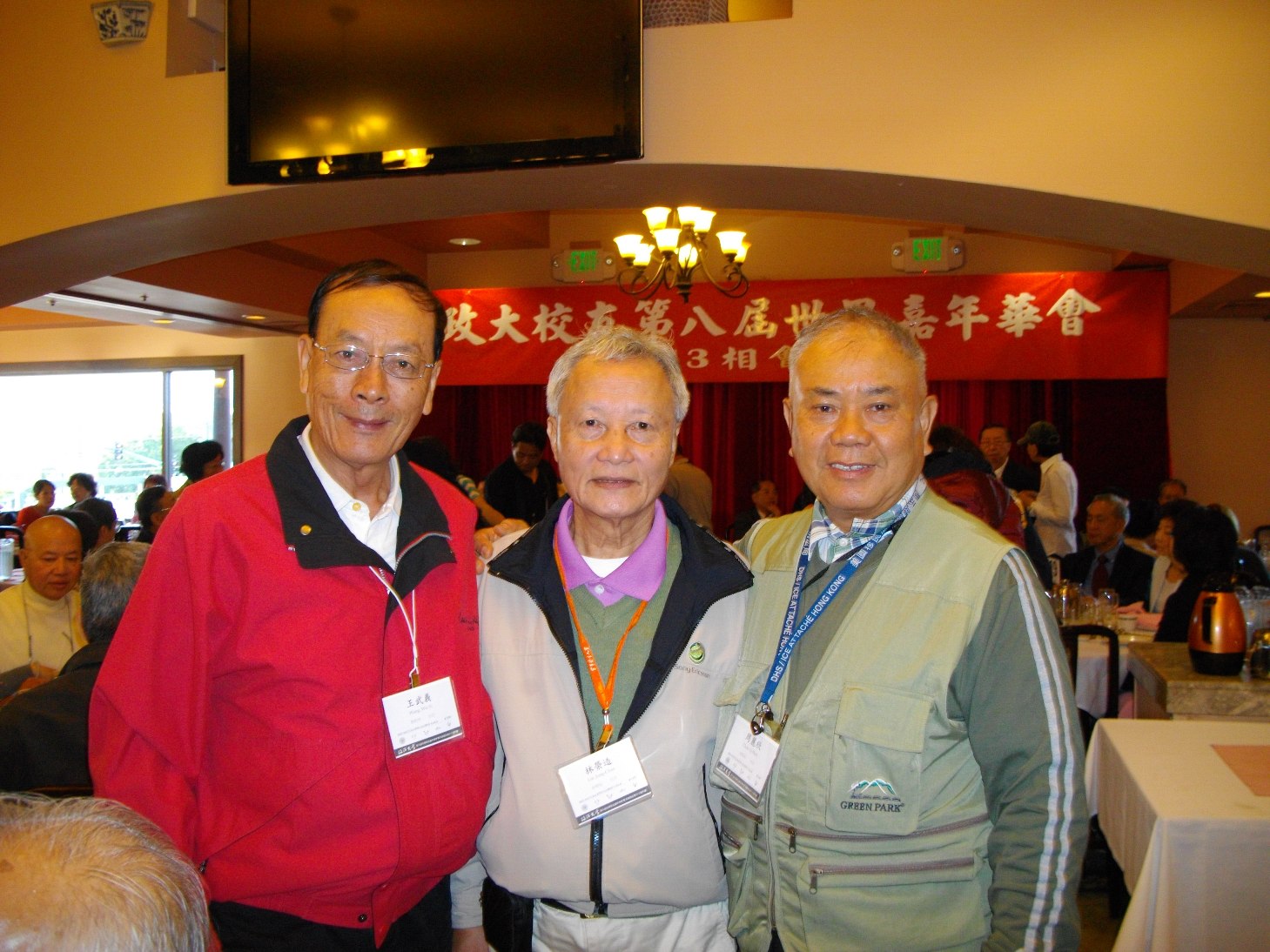
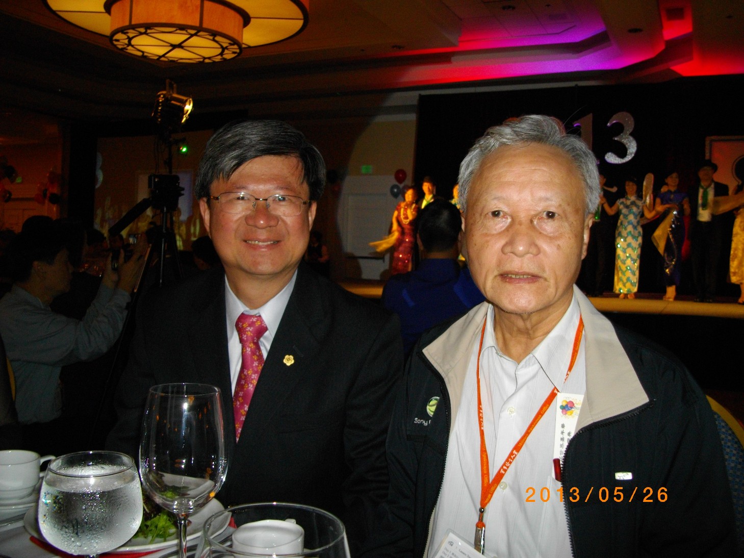
大會活動行程共有四天,第一天(五月二十四日)中午一時起,即受理來自全球校友報到,領取證件、資料與雕有金門大橋的紀念品。下午二時來自各地的會長們,在Marriott San Ramon Room和總會秘書長陳庚金茶敘,了解各地分會的近況與甘苦。會中全體無異議通過下屆嘉年華會主辦城市,由台北接手。會後陳秘書長和地主金山主辦人員、各地會長們合影留念。
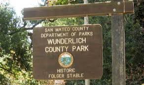
Hiking Date : 08/17/2013 Time: 1:30pm to 4:30pm, Meeting Place: the picnic table area in the Wunderlich Park. Address: 4040 Woodside Road, Woodside, 94062.
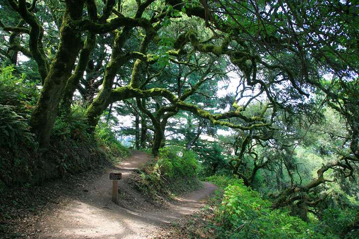
The Wunderlich Park is a hillside area of redwood forest, open meadows, and beautiful oaks and madrones. The park is largely open space, with a system of beautiful trails. Both riding and hiking are available. Much of the park is well‐
shaded, so it’s a good hiking choice in summer days.
There are quite a few loop possibilities. We hiked the ambitious one to the Skyline Boulevard edge of the preserve about 9.9 miles round trip. We also hiked a shorter one with 4.4 miles. This time, we will try a new route for easier handling.
Starting from the Parking, we will take the Alambique Trail to the junction of Bear Gulch Trail. After 0.3 miles on the Bear Gulch, we turn right to the Meadow Trail, then left to Madrone Trail, and hit the last portion of Bear Gulch Trail back to the parking. This route is about 4.8 miles. We should finish it within 3 hours.
(Please note that all participants should take full responsibility to themselves in this event. Please aware that NCUAANC is not responsible to any indemnity on any occurring in this hiking event. If you do not agree on this term, please do not participate in this event.)
What to bring:
Plenty of drinking water, snacks.
Sun glasses, sun screen and hat.
Directions:
Take Hwy 101 or I‐280 turn to Woodside Rd. Staying on the Woodside Road, head west to Woodside City. After driving through the Woodside city, head north on Hwy 84, the Wunderlich County Park will be on your right hand side.
Please aware the 25 mile speed limit in Woodside City. Police always hunts for over‐speed vehicles there.
If you can’t find parking space in the Park, you can park at the road side of Woodside Road outside the Park. Do not park at the reserved parking for the equestrian loading. You may be cited or towed by the Park Ranger.
1. Cross Bay Bridge , stay on the left lanes and go Hwy. 80 ( Sacramento ).
2. Pass Berkeley , Albany , El Cerrito and exit San Pablo Dam Road.
3. Make a right onto San Pablo Dam Road. Go all the way.
4. You’ll pass about 12 intersections / traffic lights until all the residential areas are behind you. Then you’ll begin to climb an uphill slope.
5. Very soon, Kennedy Grove appears at your left. Make a left turn you’ll face a winding downhill road to the parking kiosk.
$5.00 per car.
If you take San Mateo Bridge , do exactly the same as above – you’ll have to turn to Hwy. 880 ( Oakland ) first and then merge to Hwy. 80 when you pass Oakland. Make sure that you stay on the RIGHT lanes so that you’ll make it to Hwy. 80. Otherwise, you’ll go to Bay Bridge and San Francisco .
From South Bay
1. Take Hwy. 680 North ( Sacramento ) – highly recommended!
2. Go all the way on 680 and stay on the right lanes after you pass Alamo. You then will merge to Hwy. 24 West ( Oakland ).
3. Stay on 24 and exit Orinda.
4. Make a right onto Camino Pablo. You’ll pass the residential area of Orinda. Stay on the same road and the road name changes to San Pablo Dam Road.
5. You’ll enter a scenic drive. San Pablo reservoir is at your right. Hill slopes at your left. Once you pass the entrance of San Pablo Reservoir, begin to REDUCE speed, go about another quarter of a mile, the entrance of Kennedy Grove lurks at your right. You have to make a SHARP right turn onto a winding downhill road to the parking kiosk.
If you decide to take Hwy. 880 ( Oakland ) please follow the same directions as that of the SF Peninsula goers.
From Oakland and Berkeley
1. Take Hwy. 24 East ( Walnut Creek ). Cross Caldecott Tunnel.
2. Exit Orinda. Make a left onto Camino Pablo.
3. Follow the same directions as that of South Bay goers who take Hwy. 680 North.
From Marin
1. Take Richmond / San Rafael Bridge.
2. Stay on Hwy. 580 West and exit Harbor Way. Left onto Harbor Way and then immediately right onto Cutting. Go all the way until you reach the entrance of Hwy. 80 East. Go onto Hwy. 80 East.
3. Follow the same directions as that of SF – Peninsula goers.
大家好! 祝您有一個愉快的國慶假日。今天我們看到了一個好消息,校友柯維鈴的女兒李萬晴Crystal榮登 Miss California 的寶座。她是我們的驕傲。我們有許多傑出的第二代。Crystal 不久之前在第八屆嘉年華會有精彩的演出。Crystal的妹妹李萬莉Jasmine 也非常傑出。請看此網站對她們的介紹。 http://uscatyaf.org/Home_Page.html
恭喜柯維鈴及李萬晴!!!
1. 座談會- 所羅門王的花園就在你身旁
主講人:政大法學院院長郭明政先生
時間:7/14 下午 2:30 – 5:30
地點:China Stix 狀元樓, 2110 El Camino Real, Santa Clara, CA 95050 (Private Party Room).
Tel: (408) 244-1684.
時間:7/6 星期六 下午6:30-8:30
地點: Jubilee Christian Center 105 Nortech Parkway, San Jose, CA 95134
在南投信義鄉,有一個不懂五線譜,體育專科出身的小學校長,和一群天馬行空的山裡小孩,組成了一個合唱團。他們唱歌不按譜,隨興換聲部,唯一的祕密武器是虔誠的信仰。台灣原聲童聲合唱團指揮馬彼得校長說明,在都市多一個知識份子,或是多一個菁英,其實沒什麼大不了。但是在部落裏,多一個知識菁英,就多一份力量,就能改造整個原住民社會。他希望台灣原聲童聲合唱團可以像雲門舞集,或明華園歌仔戲一樣,成為台灣的驕傲。
Mee at : The upper portion of this Preserve at Skyline Blvd., it is called the Spring Ridge Parking Area, 18362-18492 California 35, Portola Valley, CA .
Driving instructions:
** Please note that we will park at, and start from the upper portion of this Preserve at Skyline Blvd., the Spring Ridge Parking area. Do not get direction from google map by the address of this Preserve. It will direct you to the lower portion parking.
From hwy 280, take hwy 92 west, then turn south onto hwy 35 (Skyline Blvd), drive for 14.3 miles, the parking lots at your left. We will park at the one with portable toilet. (the 2nd parking lot on the map)
If you need address of this parking lot, the Spring Ridge Parking Area, 18362-18492 California 35, Portola Valley, CA .
It is one of the our three choices for the hot summer. The trails are mostly shaded under pines, bay trees and live oaks.
We start from the upper portion of this Preserve. We will take our modified route as last time for going downhill with the shorter 2.6 miles Hammer Gulch Trail, then upward back to parking lot with the 2.3 miles Razorback Ridge and 1.5 miles Lost Trail. From our past experience, people can handle this route very easy by this modification. The whole route is about 7.8 miles.
(Please note that all participants should take full responsibility to themselves in this event. Please aware that NCUAANC is not responsible to any indemnity on any occurring in this hiking event. If you do not agree on this term, please do not participate in this event.)